On Friday morning, September 22, we were up before dawn. Hart Ranch RV Resort was the only park we’ve seen that had a fuel station, so we took advantage of it to fill the Dutch Star on the way out. It was a slow car-style pump (the good truck stop pumps put out about a gallon every 4 seconds, while the car-style pumps are about a gallon every 10 seconds) but even with that slight delay, we were on the road by 6:45 Mountain time. Our destination was Rochester, Minnesota, for an overnight stop on the way to Michigan’s Upper Peninsula. The UP wasn’t in our original plans, at least partly because we thought that it would be freezing cold by the end of September. But while we were in Rapid City, we checked out the weather forecast and found that the highs were forecast in the mid- to high 80’s, and the lows in the 60’s. In fact, the entire northern plains was experiencing a heat wave. Sign us up for that!
The route was entirely on I-90 the length of South Dakota. and on into Minnesota. There isn’t any way that you could call the terrain particularly interesting, but as we made our way east, it got progressively greener. South Dakota was mostly dry-looking ranches, with herds of cattle having to forage pretty hard to find enough to eat. There were long stretches that were extremely sparsely populated – you have to like solitude and be pretty independent to live out there. It’s also pretty flat and kind of boring. But at least it looks more prosperous than the desert southwest we went through in May.
In Chamberlain, South Dakota (which is close to the eastern border), there’s a rest stop overlooking the Missouri River that has a huge statue of an Indian woman, that was erected in September of 2016. We stopped for lunch and to take a few pictures of this impressive sculpture.

As we got into Minnesota, it was obvious that the climate provides more rainfall (supplemented by irrigation) and land usage changed over to mostly farming. There were huge fields of wheat, corn, soybeans, sunflowers, and others that I didn’t recognize. The farms were large and the population still pretty sparse, but there were more bona fide towns.
We arrived at the Autumn Woods RV Park at about 5:45 Central time, which made it about a 10-hour drive (including stops). The odometer read 9865, so we covered about 578 miles in that time. Not only was it a long drive, but there was a 30 mph gust crosswind from the south the entire drive, so constant steering corrections were needed. With that strong of a wind, the Dutch Star also developed an occasional rattling noise that we hadn’t heard before, coinciding with particularly strong gusts. It sounded like something was moving around in the cabinets, so Therese went back to try and figure it out, but couldn’t find anything loose. She finally tracked it down to the kitchen roof fan – a strong gust would cause it to unseal and the noise we were hearing was the wind noise from that.
As we departed, the temperature was about 50 degrees, but as the day went on, it got into the 90’s. By the time we arrived in Rochester, it had cooled to a very pleasant mid-80’s. Autumn Woods was about average – nice enough park for an overnight stay, but you wouldn’t want to spend a long time there. Despite the warmth, there weren’t many other campers this late in the season.

Anticipating another long drive, we were up even earlier on Saturday, and on the road by 6:30 Central time. This time we were only on I-90 for about 150 miles, then we ignored the advice of the GPS (and the Google Maps app on Therese’s Samsung phone) and made up our own route by looking at our handy-dandy Rand McNally Truckers Atlas. The GPS suggested a route through Appleton and Green Bay, Wisconsin, but we decided to take I-90 east to I-94 west for a few miles, and then follow Route 64 for the next several hundred miles to Marinette, Wisconsin, thereby avoiding the more populated areas. Route 64 was one of those really nice two-lanes – uncrowded, speed limit 65, very few towns and almost no stoplights, and we made good time on it. When we got to Marinette, which is on the Green Bay (which is part of Lake Michigan) at the Wisconsin – Michigan border, we headed north on Route 35, which is also called Lake Shore Drive. That’s appropriate, because it is another delightful two-lane that goes along the shore of Green Bay / Lake Michigan for about 70 miles. There we caught up with Route 2 (another nice one) to Route 77, and then along H42 to our destination in Curtis, Michigan – Log Cabin RV Park. We arrived about 5:30 Eastern time (we lost two hours in two days), with 10370 on the odometer, for a total of 505 miles.
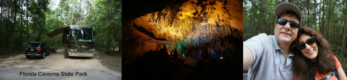
Log Cabin RV Park is situated on Manistique Lake in the middle of the Upper Peninsula. It’s not a real fancy park, but the site we are in is considerably more spacious than most and is in a nice wooded section.

Since the temperature was near perfect by the time we set up and ate dinner (high 70’s), we set up our camp chairs and decided to break out the propane Coleman lantern that our son Steven had given us for Christmas. We got that going and almost felt like real campers.

Sunday we got up late, with no plans of what we were going to do. Therese consulted her National Park book, and decided that we should head to the Pictured Rocks National Lakeshore, about 60 miles from Curtis. All the roads that we have been on in the Upper Peninsula have been nice wide two-lane roads, mostly straight as an arrow, and in excellent condition, and the roads to Pictured Rocks were no different. We made good time and stopped in at the small visitors center in Munising. There was hardly anyone there, so we got a chance to consult with the very knowledgeable park ranger. She gave us some great suggestions of what to do with the about six hours we had to spend in the park.
Our first stop was Munising Falls. A short walk from the parking area brought us to the foot of the falls. It was pretty crowded, with lots of people getting out in what will probably be the last warm weekend in the Upper Peninsula before it reverts to historical norms (this time of the year, that’s highs in the high 50’s and lows about 40). The falls are carved from sandstone, which is the predominant geology in the Great Lakes region.


Our next stop was at Sand Point, where there is a beach on Lake Superior. The park ranger told us that the pink color on the beach was from crushed up garnets. There were a few hardy Michiganers in the water, which felt like about 60 degrees to me. Therese waded in, but didn’t last long.


We took a walk along the lakefront while we were there, and came across a now-closed Coast Guard station from which they launched water rescues years ago. The 36 foot boat was on rails that led down to the lake. The sign said that the station was open from 1933 through 1964, it didn’t say what they do now if they have to mount a rescue. From the beach, you look across to Grand Island, which is accessible only by passenger ferry and has primitive camping and hiking. It is said to be a great place to visit, but we did not have time to get there.


The park is 42 miles long and about 5 miles deep along Lake Superior. To visit it, you travel along Route H58, with several side excursions. Our next such side road was H11 to the Miners Castle area. This was quite a surprise to us – there are 200 foot cliffs at the edge of Lake Superior – who knew? There were three different overlooks accessible from the parking area. One of them gave a high up view of the bottom of the cliffs and shoreline, and one descended about halfway to give a view of the top of the cliffs. Both were spectacular, much more interesting than we had been expecting to see.


We ate lunch at a picnic area with a view of the lake.

and then headed to the Miners Falls parking area, taking a mile and half round walk to the falls. The walk was through a beautiful deciduous forest – mostly ash and maple trees, and a welcome difference from the almost exclusively coniferous forests that are encountered in the more arid west.

Another welcome difference was that the area was much less crowded than Munising Falls or the Sand Point beach area (the trend of less crowds continued as we continued northeastward through the park).


Here is a video of the Falls: 2017-09-24 14.47.56
By this time, it was too late in the day to take the 3 mile walk to the Au Sable lighthouse (or Light Station as they are currently called), so we’ll have to try that some other time. The signs informed us that, surprisingly, Michigan has the second longest shoreline in the US, trailing only Alaska. More shoreline than California and Florida, which we both found surprising. It has the most lighthouses (143), beating even Alaska. Lighthouse aficionados love the Upper Peninsula, apparently.
Following the shoreline, we next came to Log Slide. The whole Upper Peninsula was ruthlessly logged in the late 1800’s and early 1900’s, so most of the woods look comparatively young. Along the trail to the log slide, they had a shed containing one of the ways of they used to move the logs overland, this huge-wheeled contraption.

Apparently one way of moving the logs longer distances was to slide them down the sand of the large (300 to 600 foot) dunes into Lake Superior to float them to the mills. The sign cautioned that climbing back after sliding down the 500 foot log slide can take up to an hour. It had surprisingly little cautionary language about the foolhardiness of sliding down, but when I got anywhere close to the edge, I could tell that it was indeed crazy. There were many footprints from people who had climbed up, though, so I guess some nutcases actually do it. You can’t tell from the picture how steep it is, but trust me, no sensible person would get any closer to the edge than I did.


Our final stop was a few miles down the road at Sable Falls, another scenic and easily accessible water fall. This one was between Lake Superior and the small Grand Sable Lake, which are separated by about a half mile. I was amazed that there was enough ground to collect the quantity of water that was coming over the falls. I don’t think the water level of Lake Superior could be that much higher than that of Grand Sable Lake, so I can’t think of any other explanation.

All in all, we had a great day at Pictured Rocks National Seashore. The Lake Superior shoreline is much more interesting and picturesque than I thought it would be. If you get near that area of the country, don’t miss it.
Wow! I want to be one of the first to get a copy of your “Travel Guide”. I really look forward to reading all of your updates!! Wonderful trip!